NOAA expands use of commercial satellite data to enhance weather forecasting
Requested translation is not available. Showing the stored EN version.
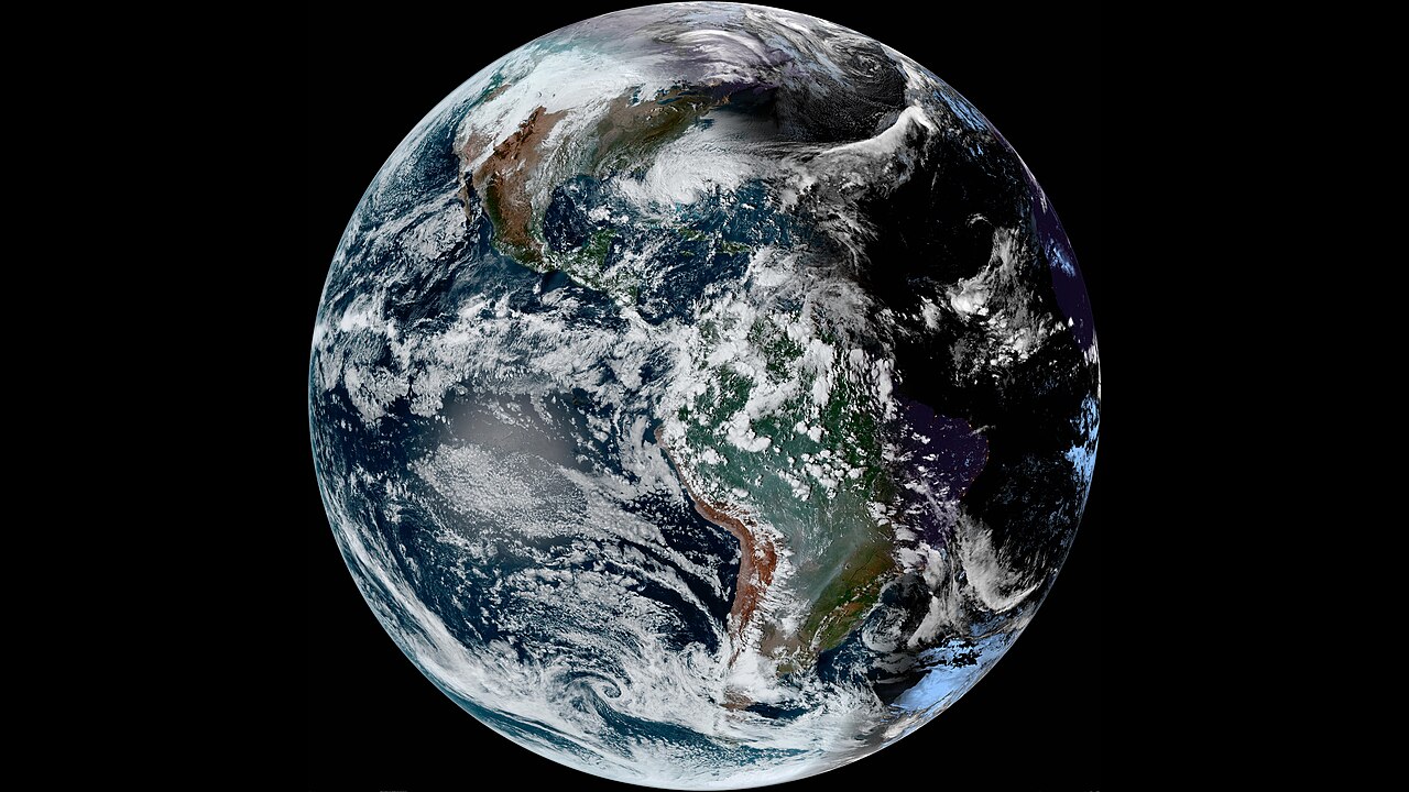
.jpg)
What happened
NOAA expands use of commercial satellite data to enhance weather forecasting September 10, 2026 NOAA is expanding the use of commercial satellite data to boost weather and space forecasting. This is an artist's rendering of commercial satellites operated by Tomorrow.io, PlanetiQ, Spire Global Subsidiary Inc.
The Space-Based Environmental Monitoring Indefinite Delivery, Indefinite Quantity contract is a key part in the agency’s ongoing effort to boost U.S. The ProTech-managed contract operates under an $8 billion shared ceiling funding vehicle established in 2021 that enables NOAA’s Weather Service, Ocean Service, Fisheries Service and Satellite Service to procure professional, technical and scientific services.
Effective from September 1, 2026, through August 31, 2036, the contract contains a five-year base period followed by a five-year option. As operational requirements evolve, NOAA has the flexibility to integrate new categories of data and additional vendors while the contract is in place.
Key facts
- Effective from September 1, 2026, through August 31, 2036, the contract — includes: a five-year base period followed by a five-year option
Sources & evidence
- NOAA Primary / official
NOAA expands use of commercial satellite data to enhance weather forecasting ↗
https://www.noaa.gov/news-release/noaa-expands-use-of-commercial-satellite-data-to-enhance-weather-forecasting